Spatial Data
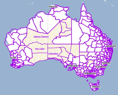
Spatial data for use in a GIS system like ESRI’s ArcGIS or QGIS can be hard to find, access or create.
Our team can either source & acquire existing geospatial databases, capture data layers in the field, or integrate your mapping system with existing spatial data that you may already have in your organisation.


